Philippines
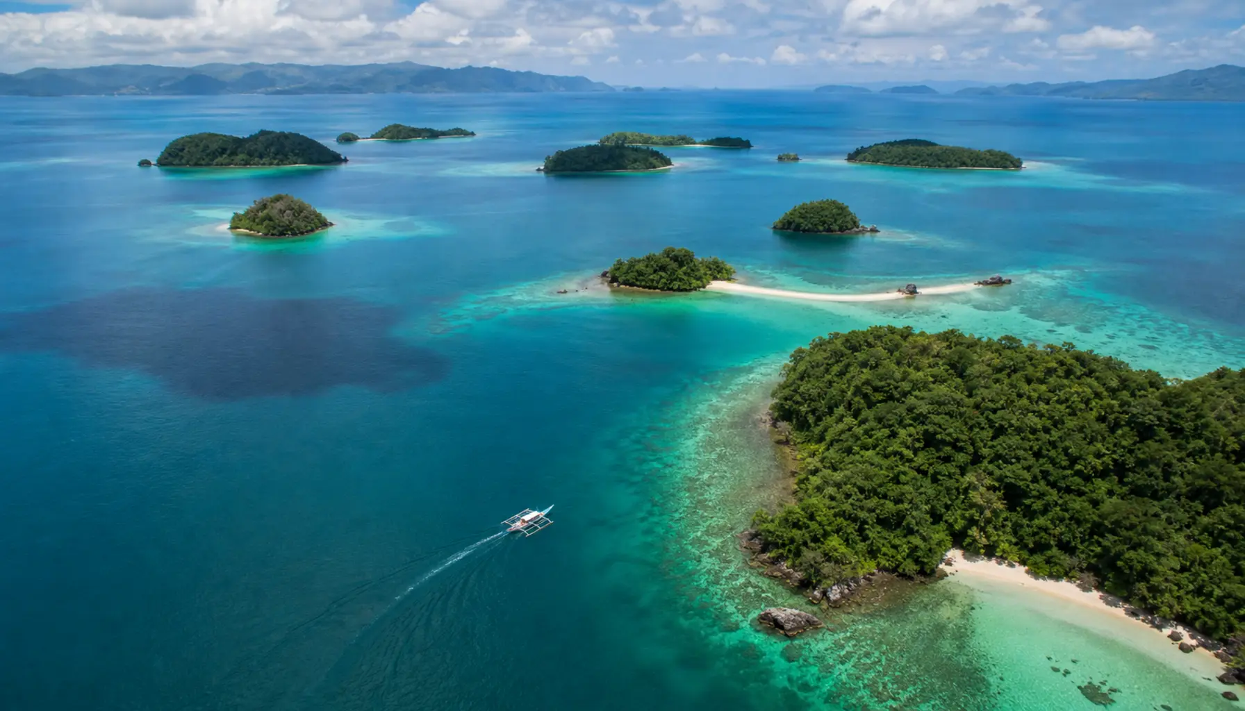
Seven thousand islands, two oceans, and a country best read by ferry rather than by road.
The Philippines is the archipelago that operates most clearly as a sea route — ferries are still the most common way to travel between the major islands, and the country’s personality changes from sea to sea. English is widely spoken, the food is a Spanish-Malay-Chinese-American hybrid, and the coastline is the longest in Southeast Asia. Most international flights land in Manila or Cebu; domestic flights then radiate out to the famous islands. Plan around typhoon season (June–November) and the Holy Week travel rush in the spring.
When to Go
The dry season is roughly December through May, with the cooler months (December–February) the marquee window. March, April, and May get progressively hotter; April and May are the months locals head for the beaches. The wet southwest monsoon brings the typhoon season from June to November, with September and October the highest-risk months for storms. The dry side of an island depends on which monsoon is active, so travelling between coasts can let you stay in good weather for longer than the calendar would suggest.
Cities & Regions
Luzon
Manila’s skyline, pine-forest hill towns, and the terraced north.
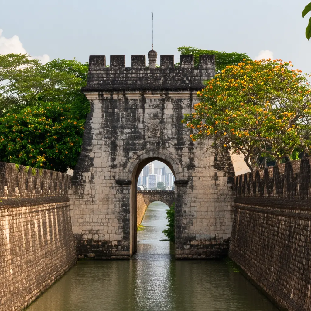 ManilaSkyline bars, mega-malls, and bay sunset walks
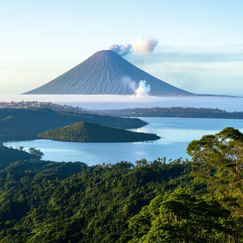 TagaytayRidge cafés above the Taal volcano lake
 BaguioPine-cool mountain city of parks and cafés
 SagadaSea-of-clouds sunrises and deep cave adventures
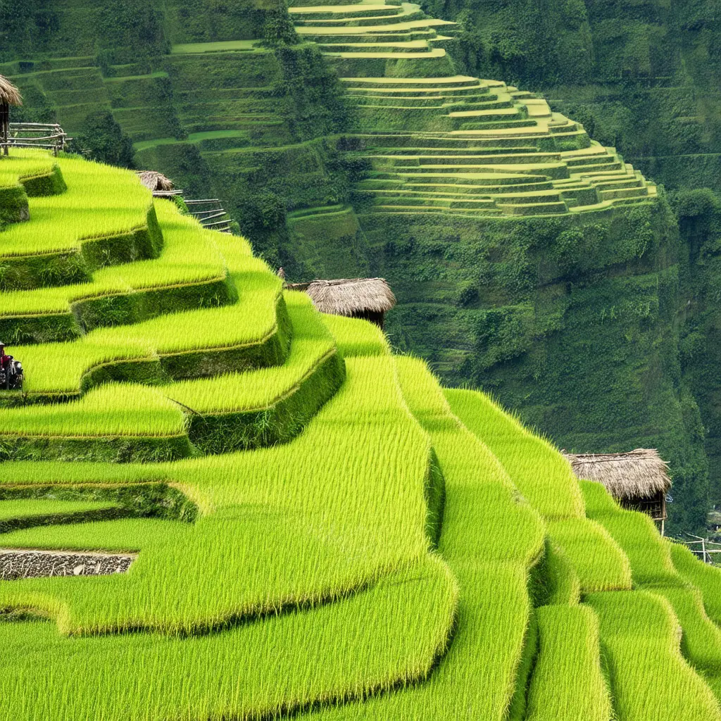 Banaue Rice TerracesAmphitheatre rice terraces carved into the clouds
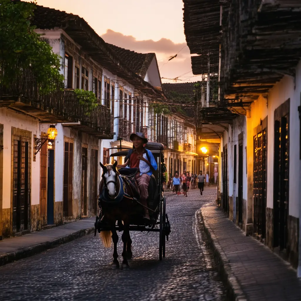 ViganCobblestone streets by horse-drawn kalesa after dark
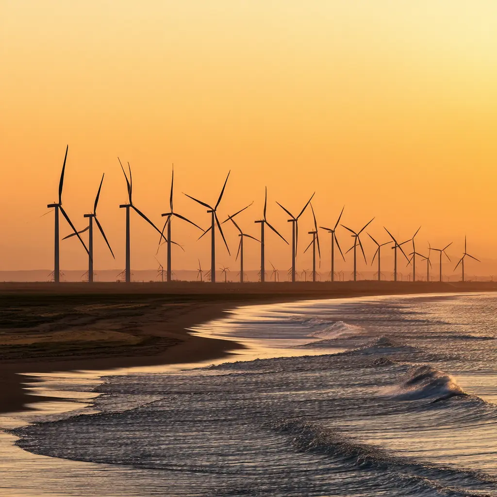 Ilocos NorteWind farms, sand dunes, and wave-carved coast
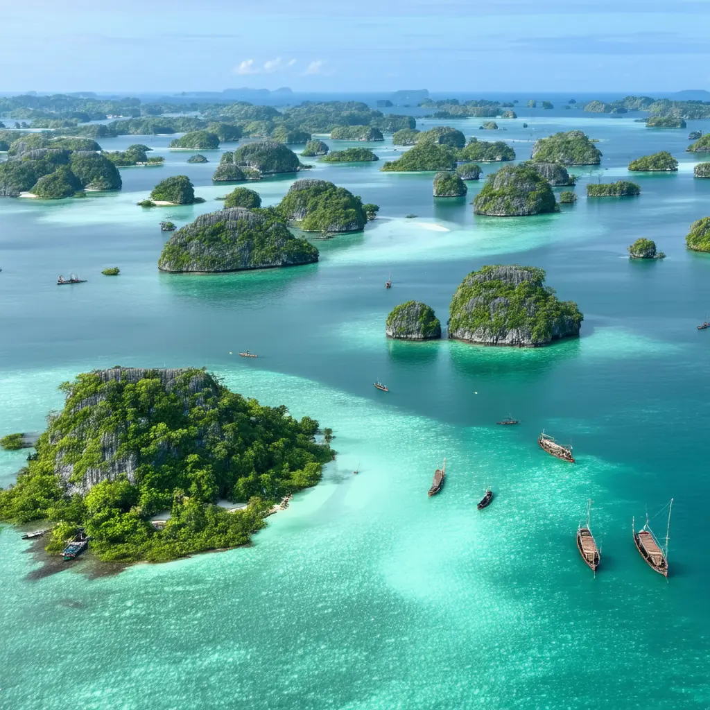 Hundred IslandsIsland-hopping playground of 124 green islets
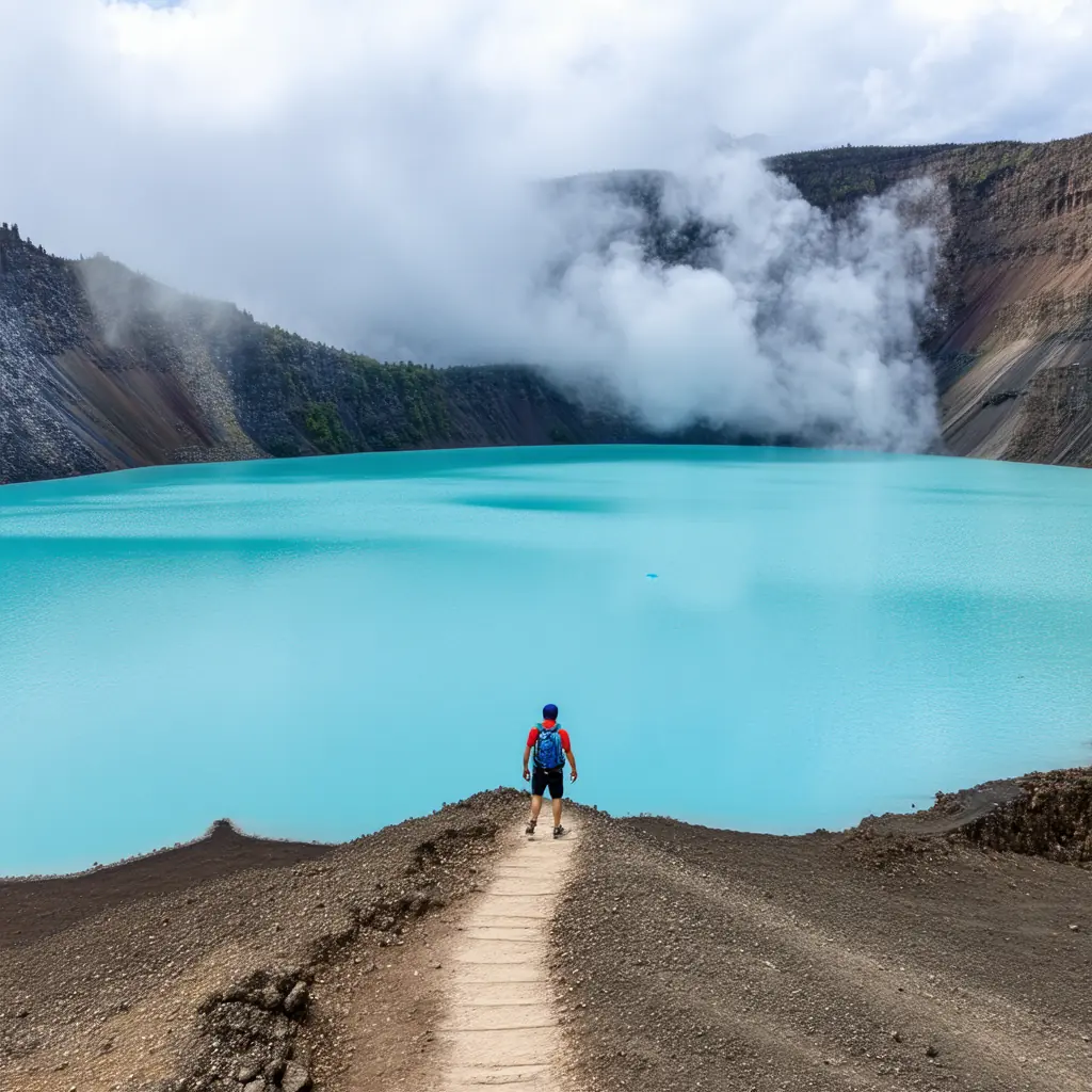 Mount PinatuboTrek to a turquoise volcanic crater lake
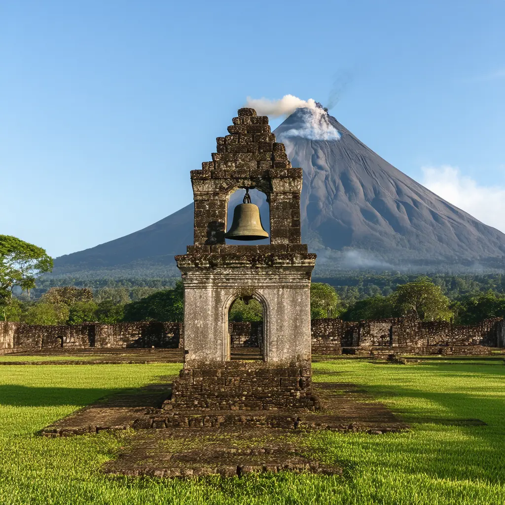 Bicol RegionPerfect-cone Mayon and whale-shark waters
Visayas
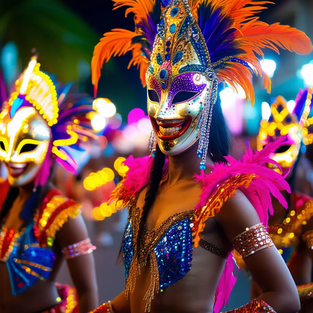
Ferry-hop islands of beaches, festivals, and reef runs.
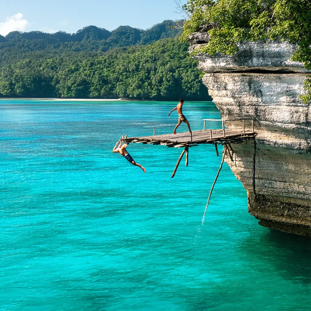
Palawan
The lagoon province regularly voted the world’s best island.
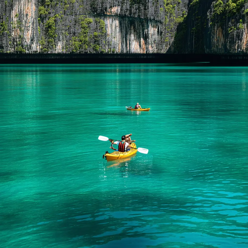
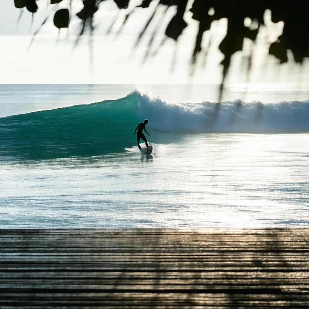
Mindanao
Surf capital Siargao and the wilder deep south.

Tourist Map
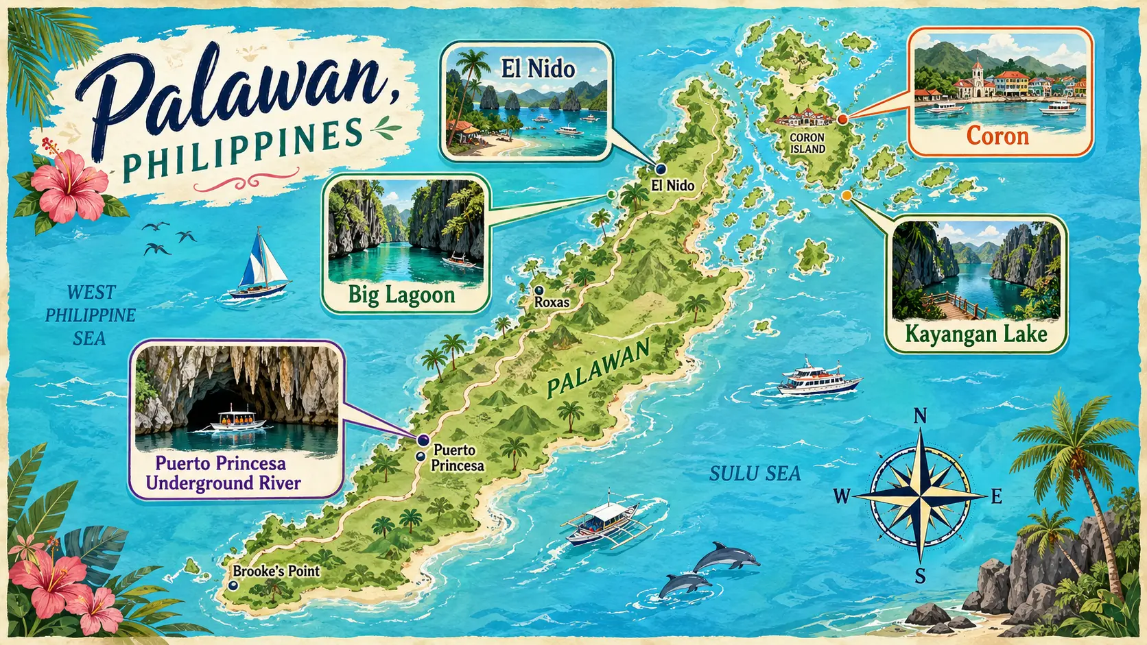 Illustrated Philippines mapsBrowse the full hand-drawn collection — every city and island, offline-friendly.